Pacific Crest National Scenic Trail

|
|
I am very slowly hiking my way through California on the Pacific Crest Trail (over several years). I started last April in Campo (at the Mexican border) and in 3 short section hikes I've made it to Idyllwild. In April I'll take a weekend & get from Idyllwild to Cabazon (or Cabazon to Idyllwild) - about 25 miles. On May 24th 2003, I left from Cabazon for 5 weeks, with Mt. Whitney's summit and an exit through Kings Canyon as my goals. This was basically 2 back-to-back section hikes: Cabazon to Agua Dulce, then Tehachapi to Kings Canyon - about 250 miles each. My uncle has land near Agua Dulce, so he gave me a lift from there to Tehachapi. By skipping this dry desert section I planned to reach Mt. Whitney before I had to return to work at the end of June. |
Here are some pics of where I've been so far.
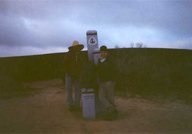
Pre-dawn at the Mexican border. Me on the left, Pat the Pennsylvania Plumber on the right.
|
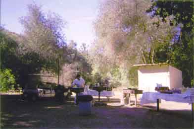
I came upon this scene while hiking. He's a catering chef who happened to be preparing a mondo breakfast for a trail riding club on Memorial Day. I came in 1/2 hour before the horses and received a huge breakfast of eggs, sausage, fresh OJ & delicious pancakes. |
|
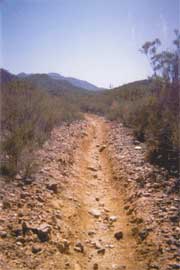
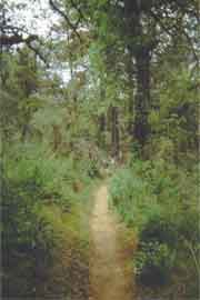
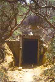
2 sides of the same mountain. Dry rocky heat for a couple of hours, then cool shady woods for a couple. Also, an abandoned mine in Chariot Canyon. |
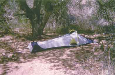
I've got a pretty lightweight tent, but I miss sitting up.
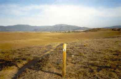
Leaving Warner Springs.
These are all from my 2002 hikes, from Mexico to Idyllwild.
Click here to see 2003 pics, from Cabazon to Mt. Whitney.